

Last week, during her weekly Manitowoc County Agricultural Update, Ag Educator Angie Unless spoke about a new online tool known as CropScape.
The program was created by George Mason University, and it looks at cropland data for the entire country.
Ulness reported that according to CropScape, there are 381,222 acres in Manitowoc County, which includes “3,247 acres of open water…That includes all the little lakes that we have so much fun in over the summer.”
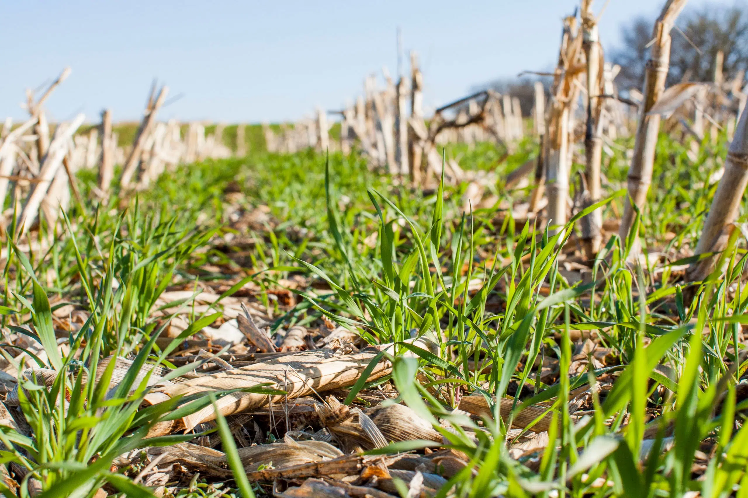
The largest amount of area is used for corn, which accounts for just shy of 80,000 acres, while alfalfa covers over 58,750 acres.
Soybeans are the third most farmed crop in the county, with just over 29,700 acres, while winter wheat comes in at number 4, accounting for over 16,700 acres.
Ulness told us that Manitowoc County also has “63,000 woodland, all the way down to 589 acres of sugar beats to the smallest vegetable crop of .2 acres.”
Yo-u can see the full breakdown of Manitowoc County acreage below.
CropScape also includes data from as far back as 1997, giving farmers and ag leaders all the information they need to see what could work in certain areas and what may not.
Manitowoc County Acreage Usage

")


")


