The U.S. Army Corps of Engineers has been tracking water levels on the Great Lakes for over 100 years, since 1918.
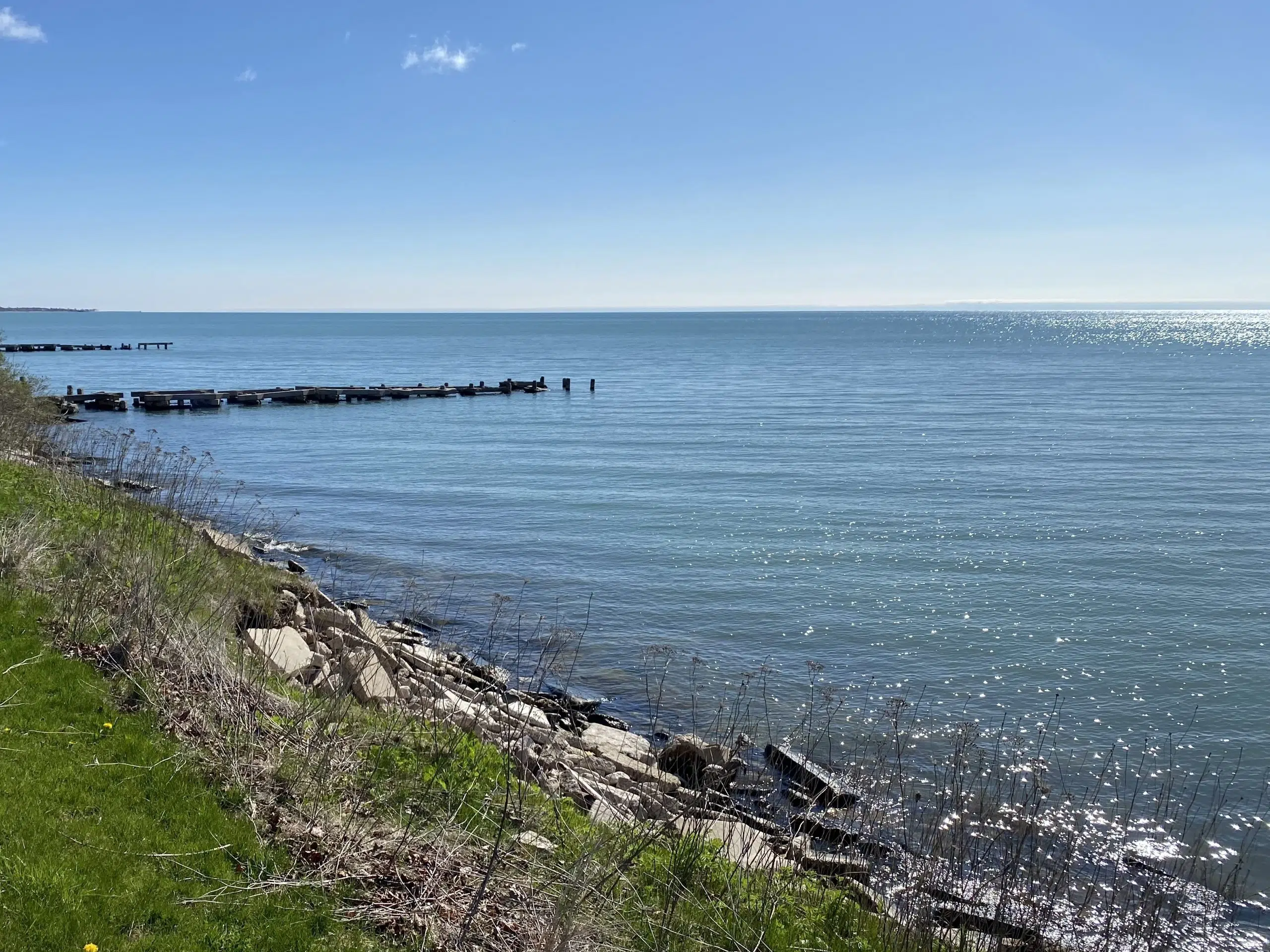
Paul Braun, Manitowoc City Planner and Harbormaster, tells Seehafer News the water level on Lake Michigan, last taken on March 4, was 8″ higher than the long-term average. While it was two-thirds of a foot higher than average, Braun points out that it is not all good news.
“We are 17-inches lower than March 4 of last year. We are 28″ lower than the all-time high in 2020, but we are 37″ higher than the all-time low, which was in 1964.”
So, he says, from the all-time low to all-time high water levels, there’s about a 5.5′ difference. Braun explained that lake levels are “a double-edged sword.”
“When lake levels are low, you have great beaches. The problem is a lot of the marinas in Manitowoc and elsewhere on the Great Lakes invest money in dredging, they don’t have the clearance.” He continued, “But when levels are high like we had in 2020 we have a lot of erosion issues along Lake Michigan and the shorelines. We had flooding in downtown areas that came up during easterly winds when the wave actions roll up over the sheetwall.”
Braun added, “There’s never a happy medium; when levels are low we have dredging issues; when they’re high, you have problems with erosion.”