

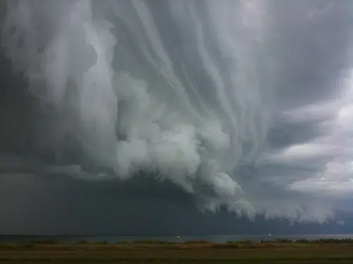
Severe weather is likely late Friday afternoon and early Friday evening for northeast Wisconsin.
The National Weather Service says a strong line of strong to severe thunderstorms capable of producing damaging winds in excess of 60 miles-an-hour-sporadic one-plus inch in diameter hail and torrential rainfall of one to two inches per hour.
Property damage-downed trees and power lines along with urban street flooding, ponding of water on roadways and rapid rises in rivers and streams are all possible with these storms.
Boaters on area rivers can expect hazardous conditions due to fast flows of water all weekend.
Safety precautions include staying indoors away from windows. If you are caught outdoors do not seek shelter underneath a tree as they are prone to lightning strikes.
A hard-topped vehicle may offer some protection as a last resort and don’t touch the sides of the vehicle. Remember-When thunder roars-Go Indoors!
All are also encouraged to have a NOAA weather radio handy and make sure it is tuned to the right transmitter.
")


")


